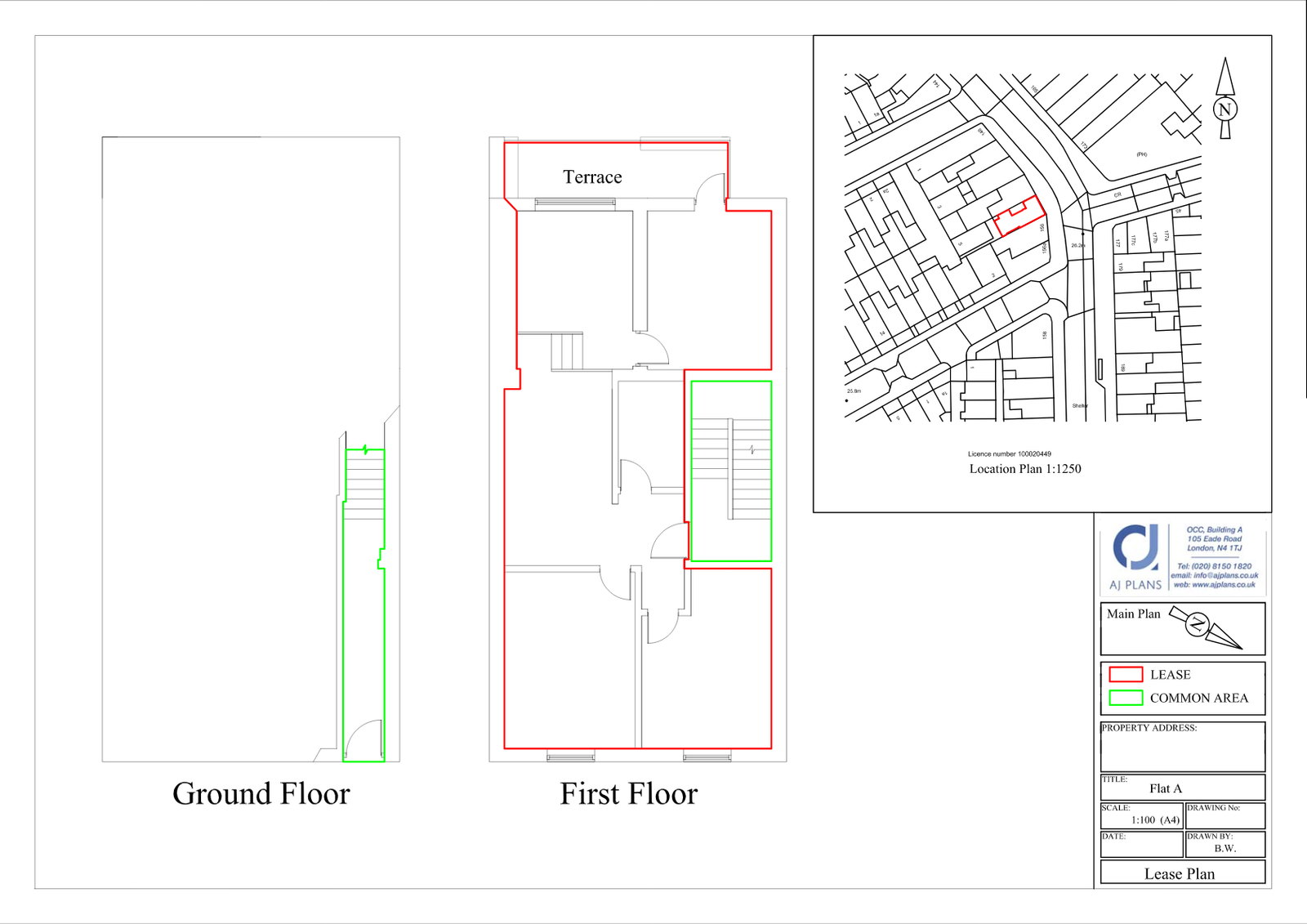
Simply put, a Land Registry compliant Lease Plan is an application to keep the government and everybody else in the loop about who owns which properties, as well as all the grisly details like their size, layout, floor levels, etc. Our lease plans are compliant with the Land Registry, a department of the government that deals with monitoring land ownership across the nation. A lease plan primarily consists of a blueprint-style map of your property’s dimensions, seen from a top-down angle. This map has to be consistent with a government Ordnance Survey map, which documents the layout of everything else in the surrounding area (neighbouring houses, roads, fields, etc). The lease plan map should slot seamlessly into the Ordnance map like a piece of a jigsaw puzzle.
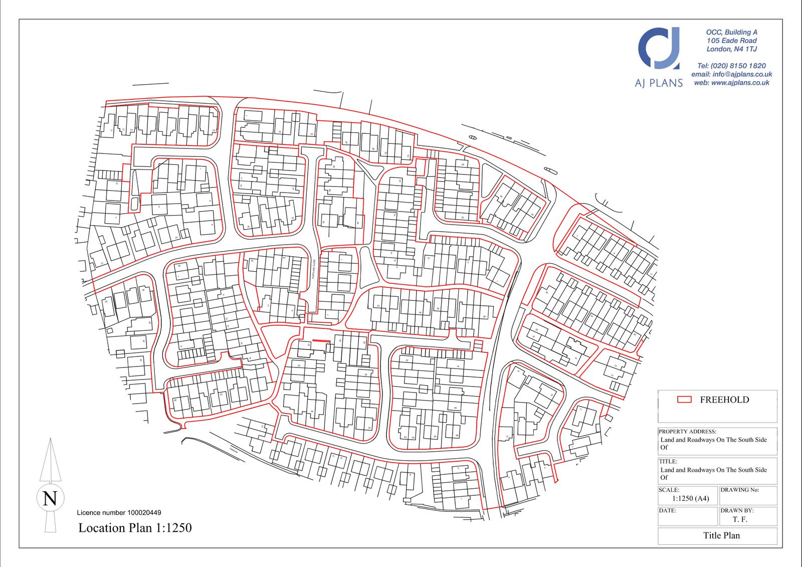
What is a title plan?
Simply put, a Land Registry compliant Lease Plan is an application to keep the government and everybody else in the loop about who owns which properties, as well as all the grisly details like their size, layout, floor levels, etc. Our lease plans are compliant with the Land Registry, a department of the government that deals with monitoring land ownership across the nation. A lease plan primarily consists of a blueprint-style map of your property’s dimensions, seen from a top-down angle. This map has to be consistent with a government Ordnance Survey map, which documents the layout of everything else in the surrounding area (neighbouring houses, roads, fields, etc). The lease plan map should slot seamlessly into the Ordnance map like a piece of a jigsaw puzzle.